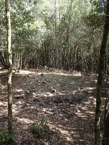
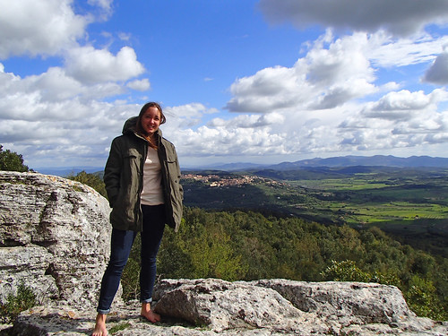
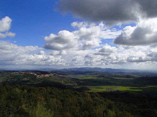
It was cooler at the top, and very windy. Throughout the trip, the hills made it possible to see towns we had driven through, the area we had come from on the coast, and all the castles and fields dotting the landscape. It was such a good way to get an idea of the landscape, like being able to look at a real-life map. I guess that doesn't make a whole lot of sense, but there you have it. Just smile and nod and enjoy this photo, and be grateful this is the end of the post :)

No comments:
Post a Comment